


Aerial Imaging & Drone Stills
-
Deliverables: High-resolution aerial stills
-
Services Provided: FAA-certified drone operations, photography, post-production editing
-
Client Use: Marketing, planning, environmental documentation, real estate, archives
-
Locations: Maryland & Mid-Atlantic region
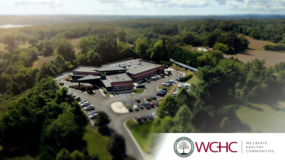
Abstract
We offer professional aerial photography services that capture landscapes, properties, and community spaces from above. Using drone technology, we create still images that highlight scale, detail, and context in ways traditional ground-based photography cannot. Our aerial stills showcase farmland, waterways, construction projects, and neighborhoods, producing imagery useful for marketing, planning, and storytelling.
From wide, cinematic landscapes to precise overhead shots, our drone stills bring clarity and impact to visual projects. Whether documenting natural scenery, providing assets for environmental or agricultural organizations, or supporting real estate and development marketing, our aerial work delivers polished, high-resolution images ready for digital or print use.